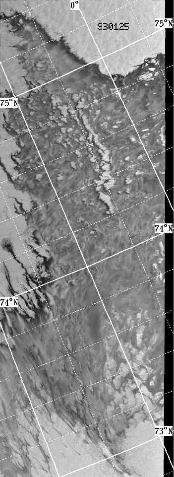
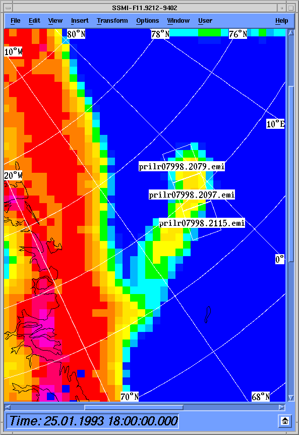
In the SAR image, open water is seen in the top part of the image, along the left hand
side and in the lower right hand side of the image.
This is in good agreement with the SSM/I image.
The SAR image shows, that new ice is formed along the western and the northern ice edge.
These areas appears as black bands of new ice.
In all of the central parts of the image, the SSM/I data shows, that considerable
amounts of ice is present.
This ice appears grey in the SAR image, and it consists basicly of pancake ice.
The water between the pancakes is perhaps frozen, so it forms a solid field of pancake
ice.
Tim Flintholm Fink<tff@emi.dtu.dk>