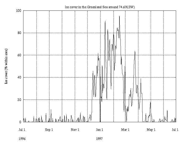
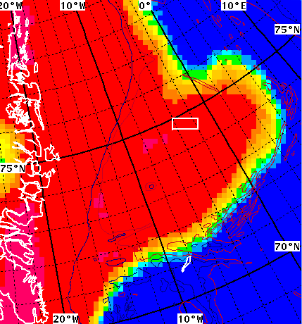
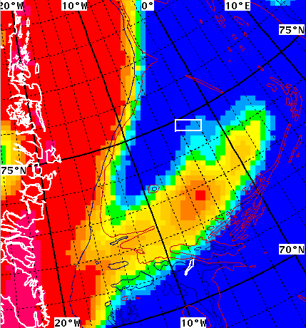
 1996/12/02
 Daily SSM/I based ice maps of the Greenland Sea has
been used to produce
a plot of the ice cover (% of area) of the "central
gyre region".
1996/12/02
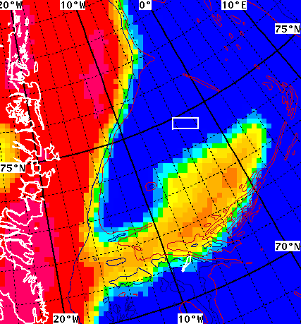
 1997/01/03
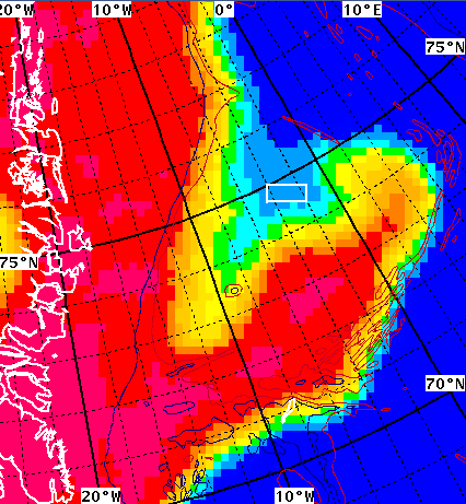
 1997/02/03
 1997/02/15
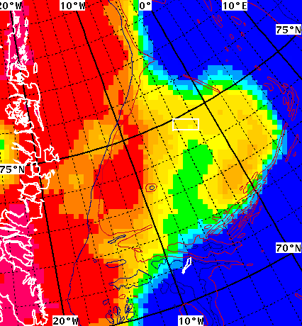
 1997/03/02
and the plot showing the percentage of ice cover in the little white box above):